US satellite companies may have sold data to Russia for strikes on Ukraine - Ukrainian Armed Forces source
Satellite takes images of a location, and a few days or weeks later a Russian missile arrives, observers say

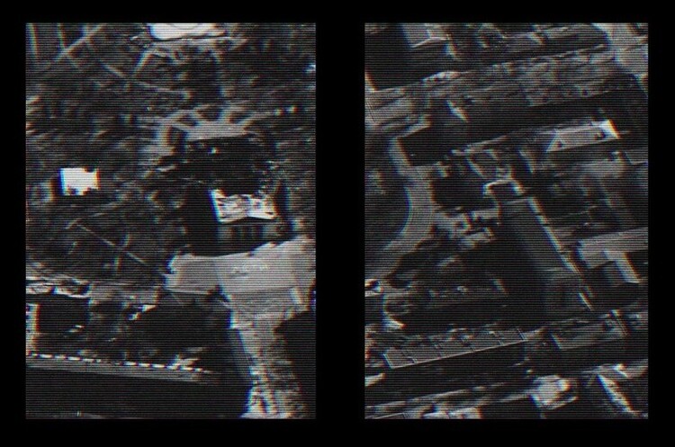
The Ukrainian military suspects that Russia is using imagery from US satellite companies to guide its cruise missile strikes.
Ordering such images is easy and inexpensive, The Atlantic writes: a few thousand dollars is not too much money if you can accurately direct a missile worth about $1 million. And to hide the Russian trace, the purchase could be made through third-party firms, as in the case of circumventing sanctions.
In addition, the satellite photography market offers large archives of good quality images with dates and coordinates that can be used to track activity at potential targets.
The scheme is obvious, a source in the Ukrainian armed forces told The Atlantic. A satellite takes images of a location, and a few days or weeks later a Russian missile arrives there, after which another satellite is ordered to take new images of the same location – perhaps to assess the effectiveness of the strike.
"The number of coincidences is too large to be a coincidence," the source said.
For example, on 2 April 2022, missiles struck a military airfield near Myrhorod; before that, its images had been requested nine times from American companies. A week after the shelling, someone bought the images of the facility again.
A similar story repeated itself, for example, in Lviv, where an arms factory was shelled on 26 March 2022. At the end of January 2024, someone ordered a fresh survey of Kyiv, after which the city was subjected to a large rocket attack.
And there are hundreds of such examples, Ukrainian officials say. Defence Ministry experts suspect that Russia "buys satellite imagery through third-party companies" that work with market leaders such as Maxar and Planet Lab, said Deputy Defence Minister Kateryna Chornohorenko.
American companies support Ukraine, she said, and they themselves have said they stopped working with Russia in March 2022 and are vetting their clients. However, the results of their work "can be used in the course of armed aggression against Ukraine," Chornohorenko said.
The Ukrainian military is monitoring Russian satellites, and their technical capabilities are limited.
Previously, "we couldn't imagine that private companies could sell satellite images of vulnerable [militarily] areas," but in the last six months, "it's become hard to believe that such coincidences are coincidental," says The Atlantic's source.
A top executive at a satellite imagery analysis company confirmed to the publication that by checking the requested images against Russian missile strikes on Ukrainian targets deep behind the lines, it found more than 350 such cases in the first year of the war.
According to the top manager, in order to prevent the images from falling into Russian hands, Maxar, Planet Lab and other companies must control not only their clients but also the process of reselling the images.
It is noted that a correspondent of The Atlantic requested recent photos of Zaporizhzhia from a reseller working with Planet Lab. And in a few minutes, after providing his name and credit card details, he received a high-resolution image.
Background. As a reminder, the US has launched satellites to combat Russia's "space threat". Within five years, the Pentagon intends to cover low Earth orbit with hundreds of such satellites.
If you have read this article to the end, we hope that means it was useful for you.
We work to ensure that our journalistic and analytical work is of high quality, and we strive to perform it as competently as possible. This also requires financial independence. Support us for only UAH 196 per month.
Become a Mind subscriber for just USD 5 per month and support the development of independent business journalism!
You can unsubscribe at any time in your LIQPAY account or by sending us an email: [email protected]


